14212 23rd Ave N. Plymouth, MN 55447
Point Cloud Aviation owns and operates a Cessna 182, this allows for a lower operating cost without sacrificing efficiency. The payload is attached utilizing a strut mount, allowing for easy removal and attachment.
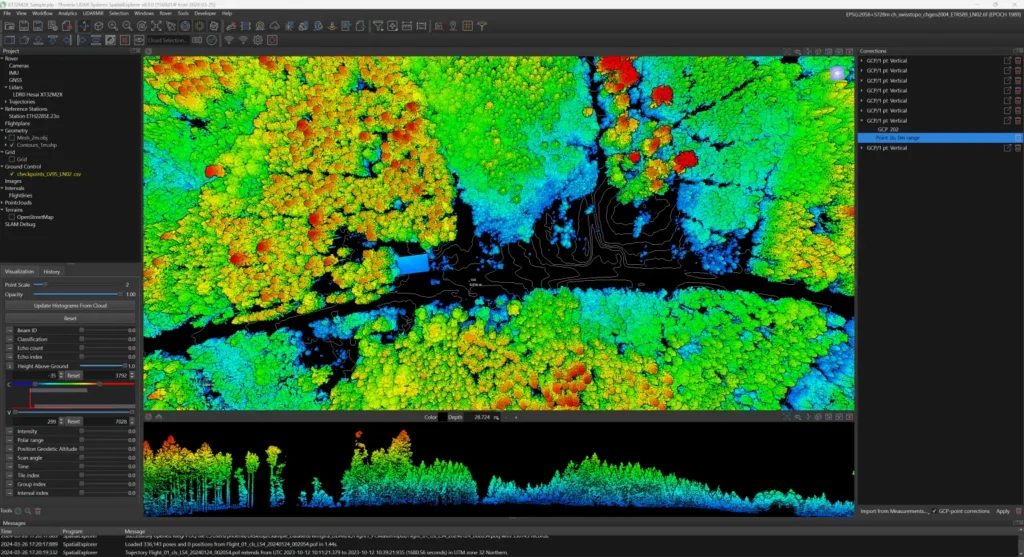
Transform raw aerial data into 3D maps and orthomosaics with advanced tools like Spatial Explorer Suite and Pix4D.
Lower operating costs with our Cessna 182 and efficient payload system.
Advanced LiDAR and imagery for accurate 3D maps and insights.
Powered by industry-leading software like Spatial Explorer Suite and Pix4D.